


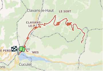

17,6 km | 38 km-effort

Gebruiker


Gratisgps-wandelapplicatie
 SityTrail
IGN / Geografische instituten
SityTrail World
De wereld gaat voor u open
Tocht Elektrische fiets van 42 km beschikbaar op Auvergne-Rhône-Alpes, Isère, Les Deux Alpes. Deze tocht wordt voorgesteld door cmarit.
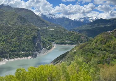
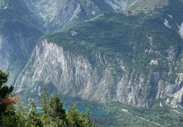
Belle montée avec toujours la vue exceptionnelle sur la Meige , le Rateau , les aiguilles d'Arves etc...
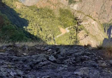
La route non goudronnée est très bonne, pour une balade faite avec des VTC électriques.
La prochaine fois nous essayerons de monter par la route depuis Mizoën, qui doit être un peu moins bonne et plus longue ...on verra!


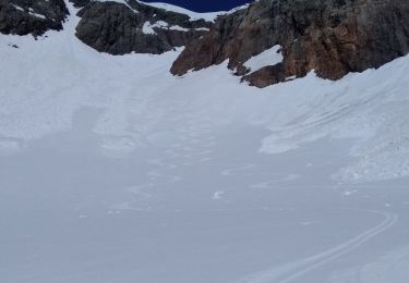
Ski randonnée
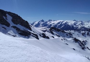
Ski randonnée

Stappen
Stappen
Stappen
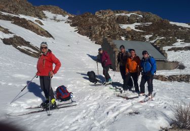
Ski randonnée
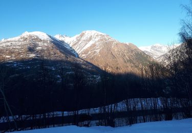
Ski randonnée
Stappen
Sneeuwschoenen
merci Patrick, je te souhaite une belle balade
Superbe, merci pour la trace. Je commencerai peut être au départ de Besse, pour faire plus court !